TROPICAL SYSTEMS

Track the tropics.

Active storm tracking, forecast cones, and everything the Atlantic and Pacific basins are brewing.
Jun 1peak · Sep 10Nov 30
OFFICIAL OUTLOOKS

NHC outlooks & development conditions

Atlantic — 2-Day Outlook
Atlantic — 7-Day Outlook
East Pacific — 2-Day Outlook
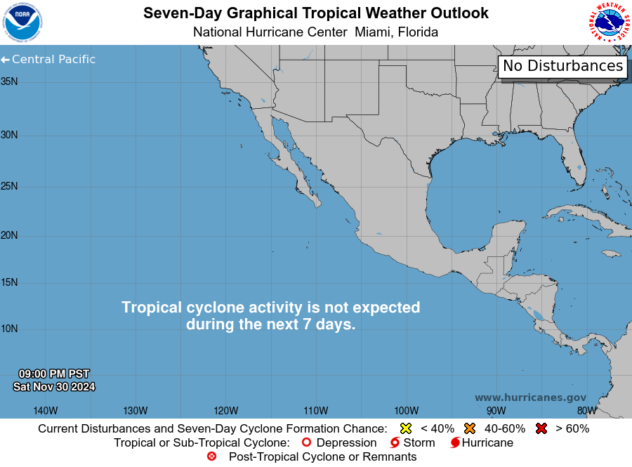
East Pacific — 7-Day Outlook
Formation Probability — 48h
Wind Shear — Atlantic
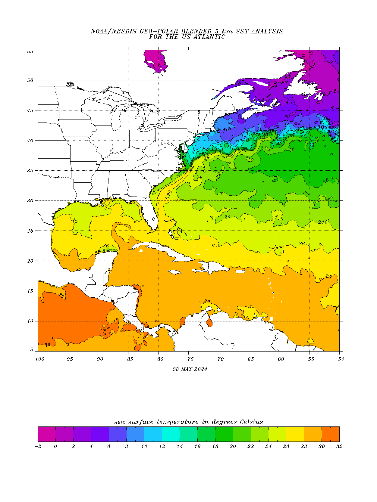
Sea Surface Temperatures
Atlantic Basin — Wind
ADVERTISEMENTReserved.
Advertise here →
ADVERTISEMENTReserved.
Advertise here →
SPAGHETTI MODELS

Model guidance hubs

When a system is active, dive into ensemble tracks and model runs at these trusted pages: Tropical Tidbits · UW-Madison CIMSS · NHC Model Guidance · College of DuPage · FSU Genesis · ECMWF Charts
ADVERTISEMENTThis space is reserved. Advertise on StormForecastPro →
TROPICS 101

How to read spaghetti models and forecast cones

Spaghetti models are dozens of computer forecasts of a storm’s track plotted together. When the strands cluster tightly, confidence is high; when they fan out across 500 miles of coastline, the honest answer is “not yet known” — and anyone giving you a confident landfall point five days out is guessing. Watch the trend from run to run, not any single line.

The NHC forecast cone is misread every hurricane season. It shows where the storm’s center travels two-thirds of the time — it says nothing about size. Damaging wind, surge and rain routinely extend well outside the cone, and one-third of storms leave it entirely. Never relax because you are “outside the cone.”

Watch vs. warning: a hurricane watch means conditions are possible within 48 hours — finish preparations; a warning means they are expected within 36 — act now. Formation odds, wind shear and sea temperatures above tell you what the basin can brew next, and My Weather shows the alerts for your exact address the moment NHC and your local NWS office issue them.


ALSO COMING ONLINE

More for this section

Active Storm Tracker

Live list of every named system, straight from NHC.

More Basins

Central Pacific, West Pacific and Indian Ocean.

Impact Outlooks

Surge, wind and rainfall — what actually does the damage.

Want it personalized? Join the community.

Registration is free. Members get personalized feeds by zip code or coordinates as they come online.